Ditapis dengan

Remote sensing and geosciences for archaeology
This book collects more than 20 papers, written by renowned experts and scientists from across the globe, that showcase the state-of-the-art and forefront research in archaeological remote sensing and the use of geoscientific techniques to investigate archaeological records and cultural heritage.Very high resolution satellite images from optical and radar space-borne sensors, airborne multi-spe…
- Edisi
- -
- ISBN/ISSN
- 9783038427643
- Deskripsi Fisik
- IX, 433 p.
- Judul Seri
- -
- No. Panggil
- 930.1 REM r

Learning to understand remote sensing images
With the recent advances in remote sensing technologies for Earth observation, many different remote sensors are collecting data with distinctive properties. The obtained data are so large and complex that analyzing them manually becomes impractical or even impossible. Therefore, understanding remote sensing images effectively, in connection with physics, has been the primary concern of the rem…
- Edisi
- -
- ISBN/ISSN
- 9783038976851
- Deskripsi Fisik
- IX, 416 p.
- Judul Seri
- -
- No. Panggil
- 005.133 WAN l

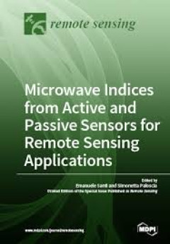
Microwave Indices from Active and PassivesSensors forr remotes sensing applic…
Past research has comprehensively assessed the capabilities of satellite sensors operating at microwave frequencies, both active (SAR, scatterometers) and passive (radiometers), for the remote sensing of Earth’s surface. Besides brightness temperature and backscattering coefficient, microwave indices, defined as a combination of data collected at different frequencies and polarizations, revea…
- Edisi
- -
- ISBN/ISSN
- 9783038978213
- Deskripsi Fisik
- -
- Judul Seri
- -
- No. Panggil
- 507 SAN m

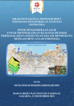
Iptek penginderaan jauh untuk meningkatkan kualitas deteksi permasalahan ling…
Naskah orasi ilmiah berjudul “Iptek Penginderaan Jauh untuk Meningkatkan Kualitas Deteksi Permasalahan Lingkungan dalam Mendukung Mitigasi Bencana Indonesia. Riset-riset yang disampaikan diharapkan bermanfaat untuk science-based policy mitigasi bencana yang sering terjadi di Indonesia. Naskah ini berkontribusi dalam pembangunan model simulasi perubahan lahan yang dapat memperkirakan potensi …
- Edisi
- -
- ISBN/ISSN
- -
- Deskripsi Fisik
- xi, 76 p; 14,8 x 21 cm
- Judul Seri
- -
- No. Panggil
- 363.7 KHO i

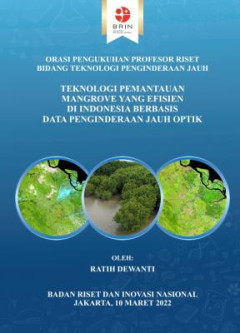
Teknologi pemantauan mangrove yang efisien di Indonesia berbasis data pengind…
Pada orasi ini disampaikan model yang efisien dalam pengolahan data penginderaan jauh optik yang dikontribusikan untuk menghasilkan data dan informasi dalam mendukung pemantauan mangrove. Efisien dalam konteks ini adalah lebih cepat dan lebih sedikit penggunaan sumber daya untuk menyediakan data yang dapat digunakan untuk pemantauan mangrove dibandingkan pendekatan konvensional. Model ini apabi…
- Edisi
- -
- ISBN/ISSN
- 9786237425540
- Deskripsi Fisik
- xi + 60 hlm.; 14,8 x 21 cm.
- Judul Seri
- -
- No. Panggil
- 660.63 RAT t
 Karya Umum
  Filsafat
  Agama
Agama  Ilmu-ilmu Sosial
  Bahasa
  Ilmu-ilmu Murni
  Ilmu-ilmu Terapan
  Kesenian, Hiburan, dan Olahraga
  Kesusastraan
  Geografi dan Sejarah